Documents
Our bylaws
Bureau of Reclamation WaterSmart Grant and Interim Reports (2 links directly below)—This watershed plan created the Watershed Alliance for the Friends of the Rio de Flag (WARF). This is the guiding document for the Friends of the Rio de Flag.
Rio de Flag Watershed Plan 2023
Interim Report Eight_210429_Final_sm
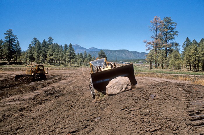
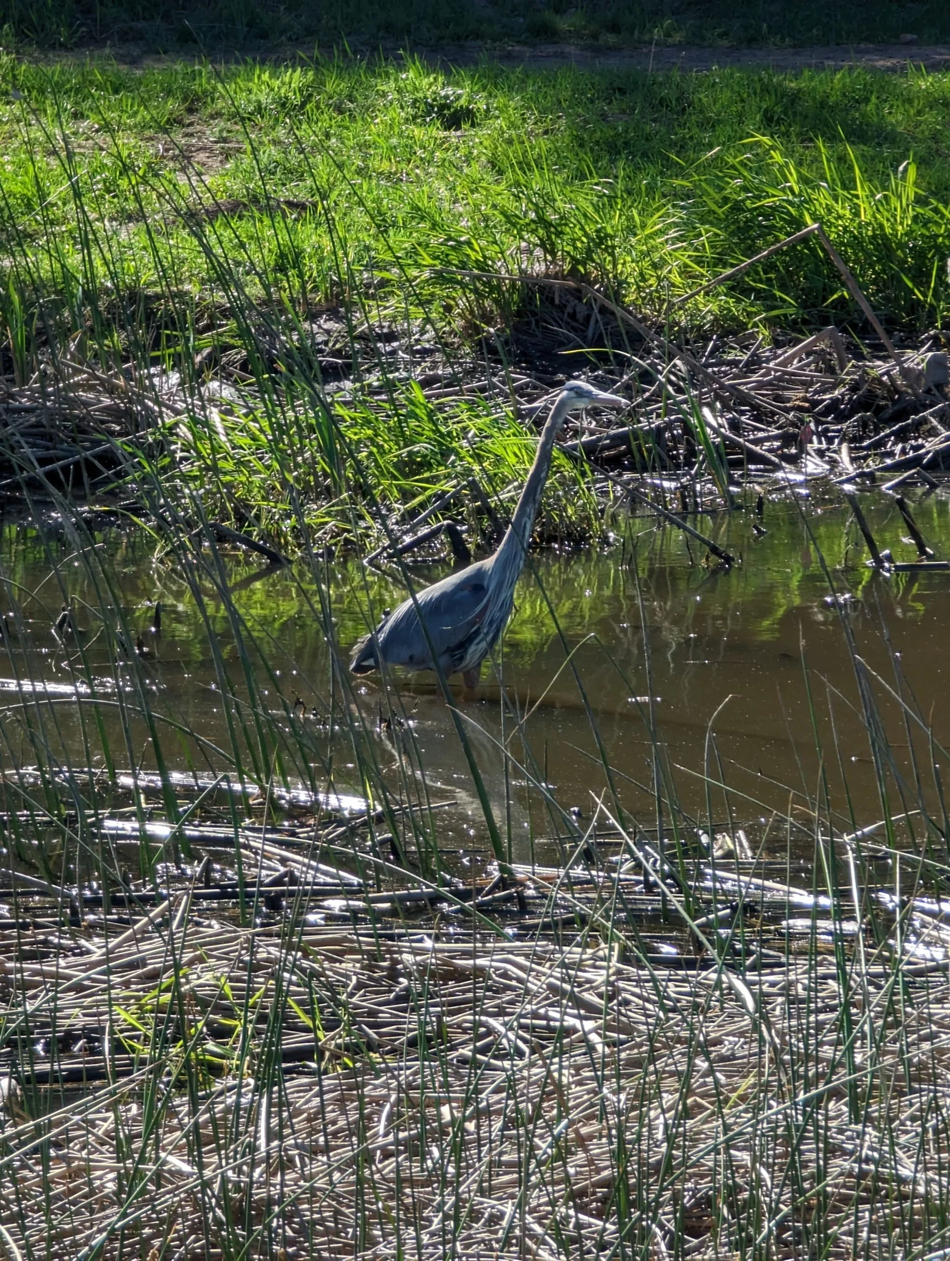
Rio de Flag Flood Control Project
ACE Reconnaissance Report – May 1997 (Warning: 186MB)
ACE Rio de Flag Feasibility Report and Final Environmental Impact Statement – Sept 2000
ACE Final Environmental Impact Statement – Sept 2000
COF open and closed channel section concept plan – Sept 2005
ACE Priority Alternatives Descriptions and Cost Summary Report, March 2010
COF summary of Rio de Flag Flood Control Project for March 2013 Washington DC legislative trip
COF Rio de Flag Flood Control Council Update Powerpoint – Feb 26 2013
FOR Important City owned open space parcels along the Rio de Flag – July 2010
FOR Important privately owned open space parcels along the Rio de Flag – November 2010
FOR Rio de Flag Main Stem Channel Length Data – by Collis Lovely
Rio de Flag Flood Control Powerpoint presentation to City Council – June 3 2014
Rio de Flag Flood Control Design Concept Project Report (Final Draft – May 28 2014 – Warning: 26MB)
Flagstaff Area Stream Fluvial Geomorphology Gaged Site Analysis
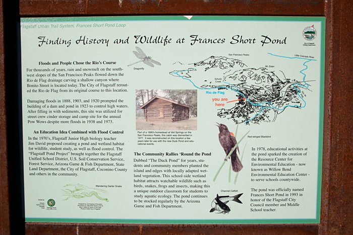
Leroux Springs
Friends of the Rio de Flag, Google map with hiking directions to Leroux Springs.
Holm, Richard F., (op cit), Leroux Springs geology elevation map.
Monroe, Stephen, Big Leroux Spring flow & climate data- 2003-2013.
Mullhousen drawing of San Francisco Peaks from Leroux Springs area, 1853.
Pattee, C.R., “Flagstaff and the Grand Canyon,” The Land of Sunshine Magazine, June, 1897, pg 125.
Sitgreaves 1853 Report to Congress [title page and pages 10 & 11].
USDA Forest Service, Wing Mountain Fuels Reduction and Forest Health Restoration documents.
Science and education
Bezy, J.V. 2003. A Guide to the Geology of the Flagstaff Area. Arizona Geological Survey Down-to-Earth Series DTE-14, 56 p.
Busco J, M Hill, S Lamb. pre 2025. List of plants in lower Sinclair Wash.
Carswell, Cally. June 2015. Tree of Life in High Country News.
Licher, Max. 2017. Report summarizing plant identification consulting work for the Flagstaff Floodplain Management Plan. full text, and spreadsheet.
City of Flagstaff Parks. 2014. Plant list Picture Canyon.
Misc documents
Stream Flow Variability and Timing of a Regional Ephemeral Stream in Northern Arizona—abstract
1952 Rio de Flag Water Based Recreation and Wildlife Development Plan
Canyon Diablo Watershed – Rapid Watershed Assessment Report June 2011
Links
Rio de Flag: Flowing Through Timeby Bill Gaud
Rio de Flag: Resourcesby Kent Hendrick
History
Climate Variation at Flagstaff, Arizona – 1950 to 2007 by Richard Hereford, USGS
Sitgreaves 1851 Expedition Report – pages 10-11 (Leroux Springs)
Beale (op cit), pg 51 (Fort Valley and Leroux Springs descriptions)
Maps
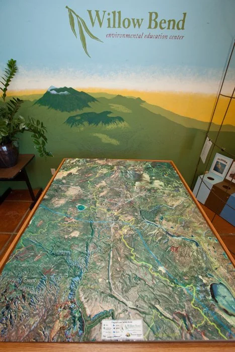
Rio Watershed through Flagstaff – 3D
Images & Presentations
Mullhousen drawing of SF Peaks from Leroux Springs area – 1853
Postcards from the Bottomless Pit
Bottomless Pit presentation from Hydrologist Don Bills – 7/2013
Water Works Part 1 – Origins Presentation by Brad Garner – 9/2013
Water Works Part 2 – Our Water Future Presentation by Erin Young – 10/2013
Water Works Part 3 – Water Reuse Presentation by Brad Hill – 2/2014
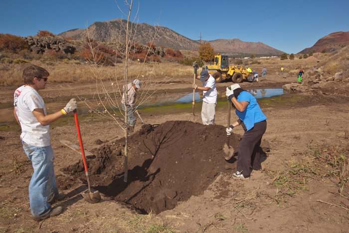
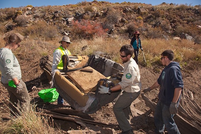
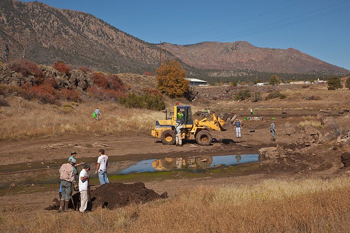
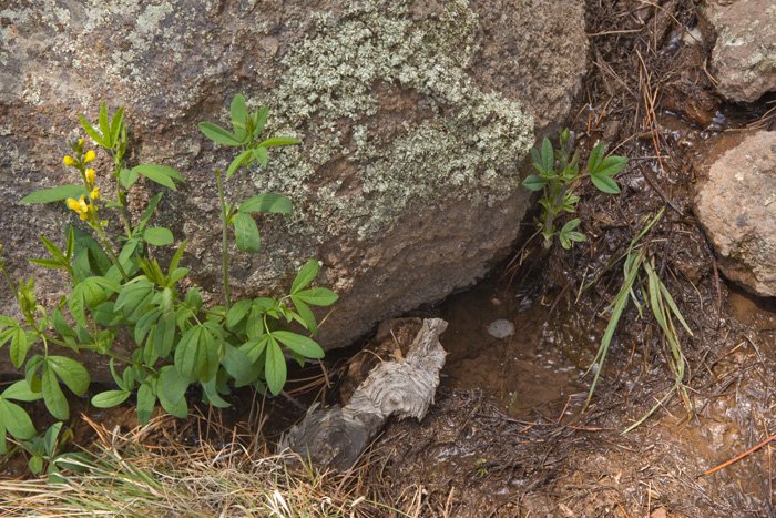
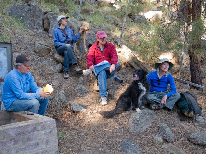
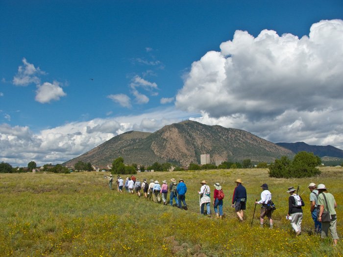
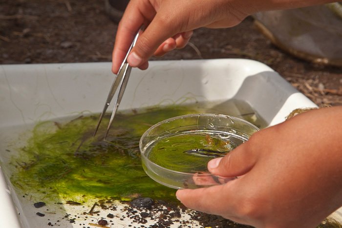
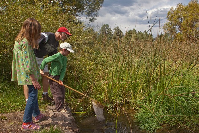
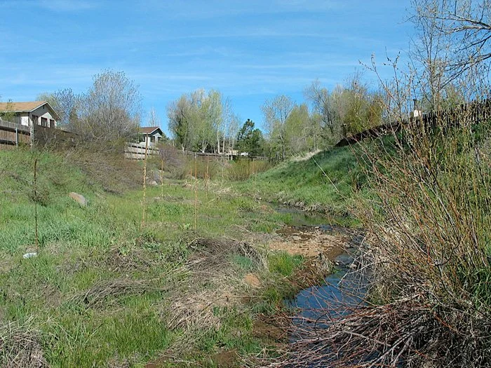
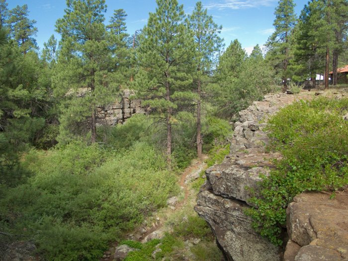
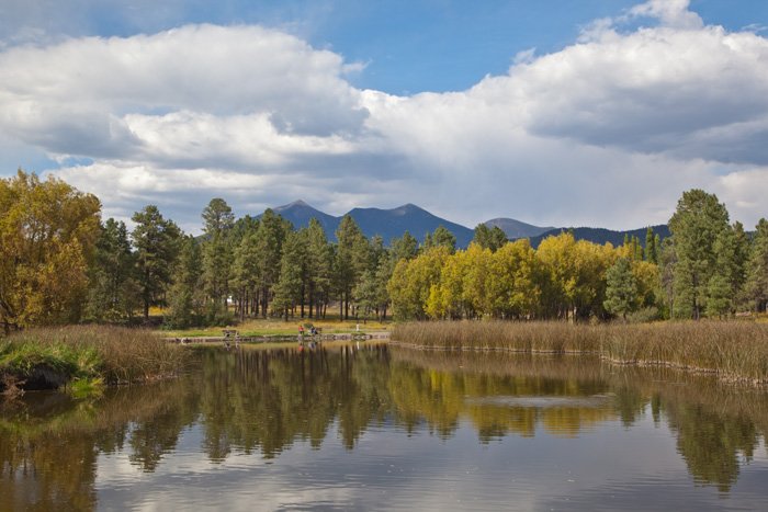
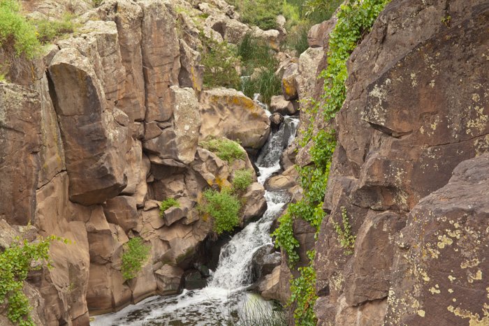
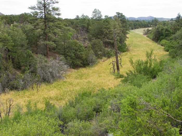
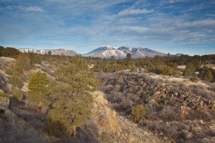
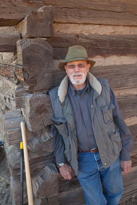
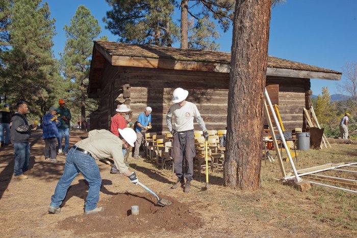
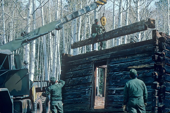
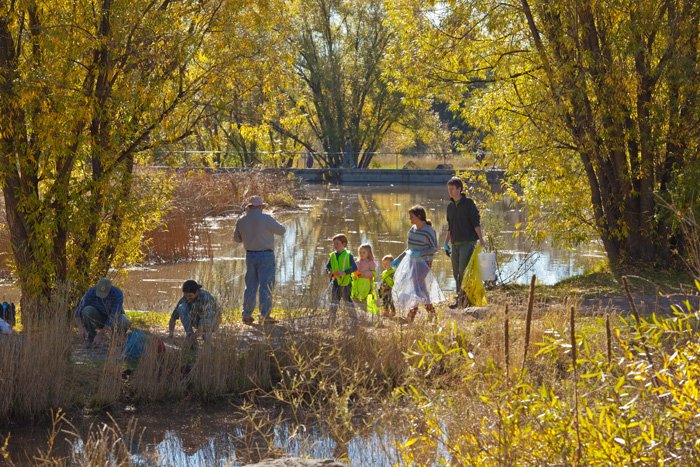
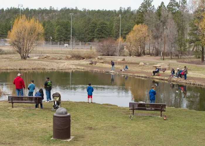
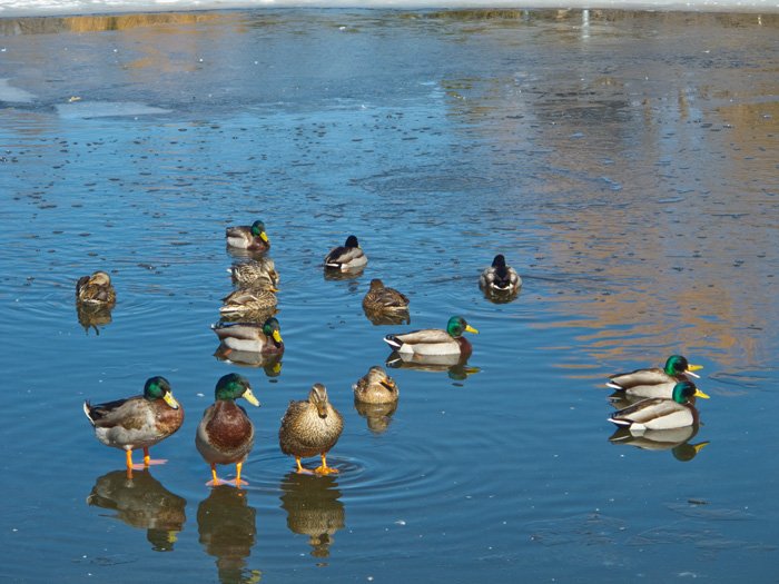
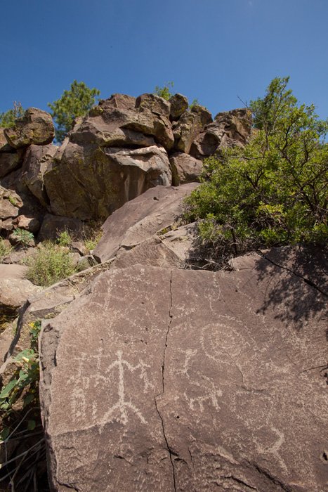
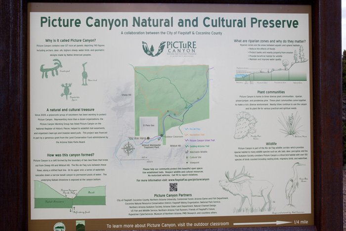
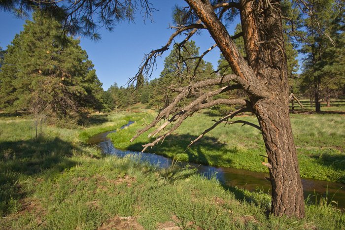
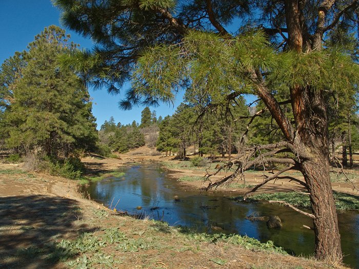
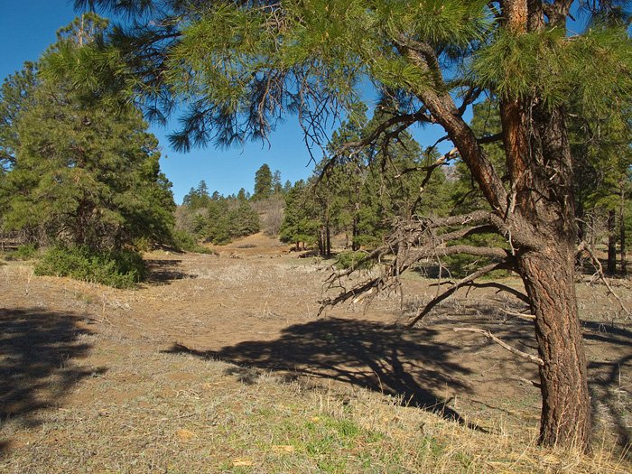
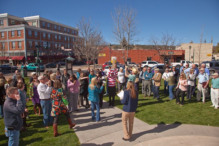
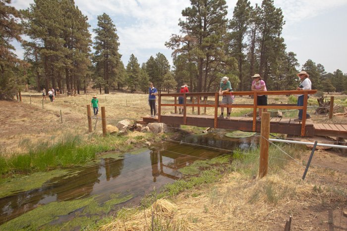
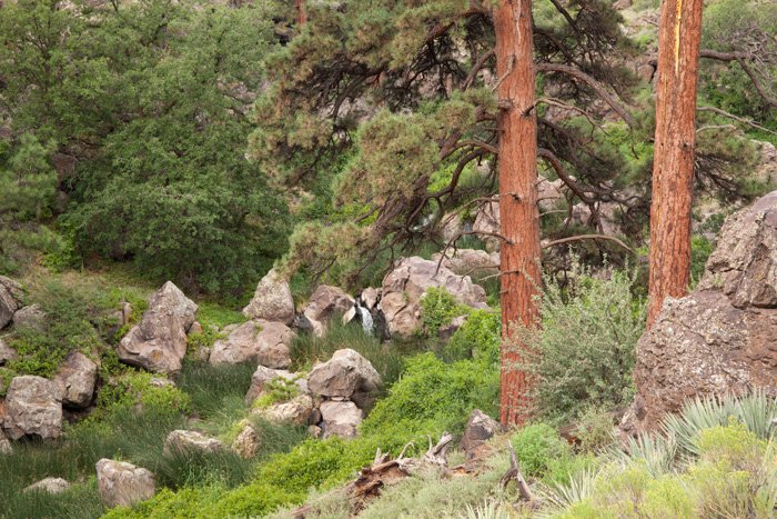
Gallery